Further extreme rainfall is possible this month and most regions will get a "relatively wet" August, according to forecasters.
MetService's outlook for this month shows little reprieve from a year of of torrential rain and flooding.
Record-breaking wet weather last month forced states of emergency to be declared in Otago, Timaru and Christchurch, flooded houses and farmland, and cut power and caused slips in the North Island.
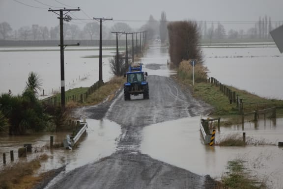

Widespread flooding of Taieri Plain - the second worst on record. Photo: RNZ / Ian Telfer
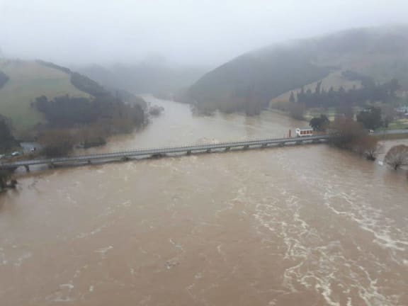

This is what the Taieri River at Outram Bridge looked like earlier this morning, as Otago Regional Council staff began their aerial reconnaissance. Photo: Otago Regional Council
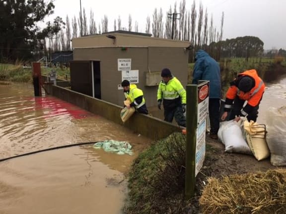

Otago Regional Council staff sandbag the most vulnerable area around the Mill Creek pump station as police evacuate the remaining residents from Mill Creek subdivision.
Photo: Otago Civil Defence and Emergency Management
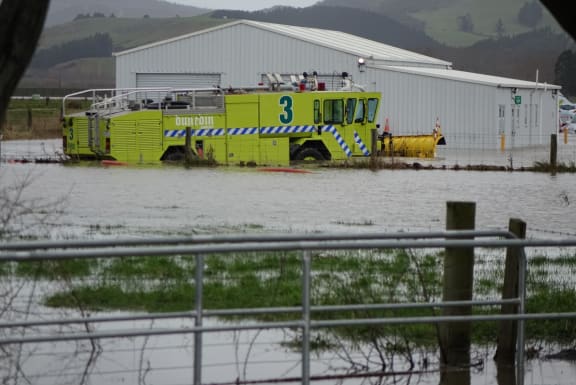

Flooding at Dunedin airport. Photo: RNZ / Ian Telfer
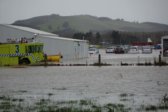

Flooding at Dunedin airport. Photo: RNZ / Ian Telfer
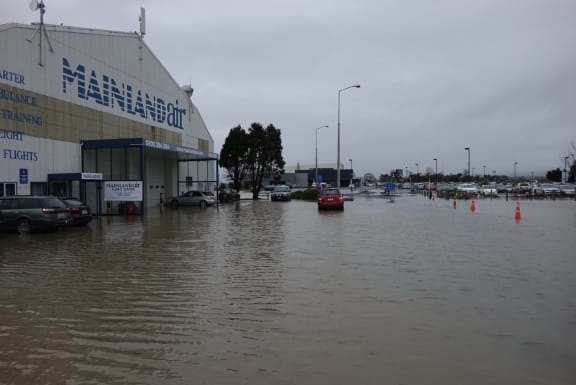

Flooding at Dunedin airport. Photo: RNZ / Ian Telfer
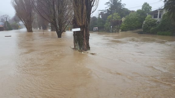

Riverlaw Terrace and Eastern Terrace by Palatine Terrace have become submerged. Photo: RNZ / Rachel Graham
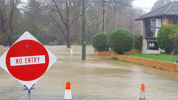

Joanne Bos' home on the corner of Hume Street and Eastern Tce is now surrounded by water. Photo: RNZ / Rachel Graham
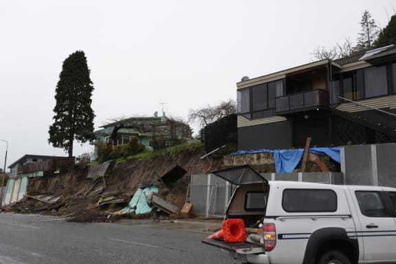

A large slip threatens houses in Timaru. Photo: RNZ / Rebekah Parsons-King
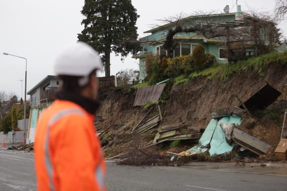

A retaining wall has collapsed due to rainfall on Douglas St in Highfield, Timaru. Photo: RNZ / Rebekah Parsons-King
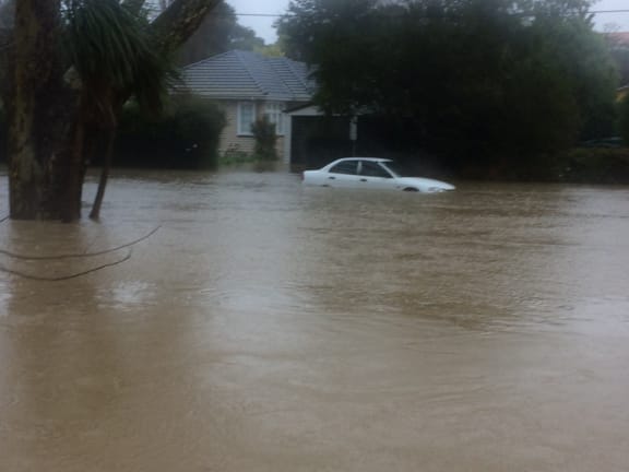

Heathcote River burst its banks and is flooding some properties bordering Eastern Terrace, Christchurch. Photo: Sean Scanlon
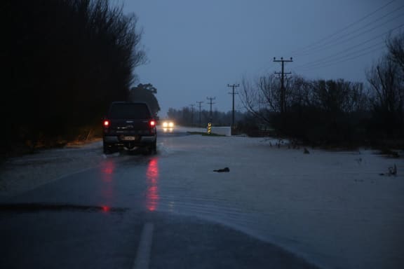

Flooding in Canterbury. Photo: RNZ / Rebekah Parsons-King
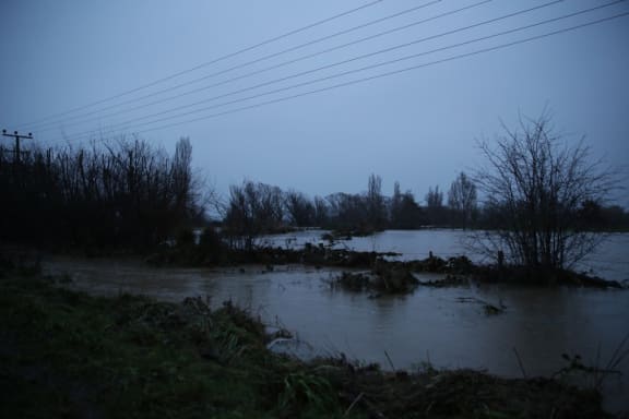

Flooding in Canterbury. Photo: RNZ / Rebekah Parsons-King
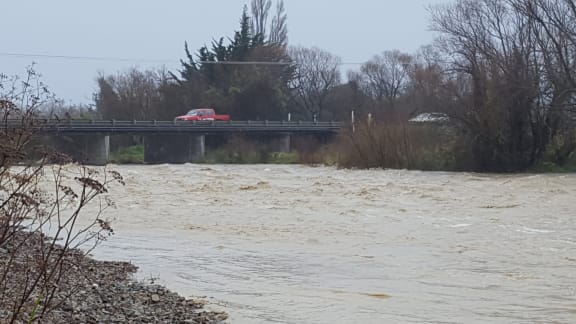

Kowai river mouth, Canterbury. Photo: RNZ / Logan Church
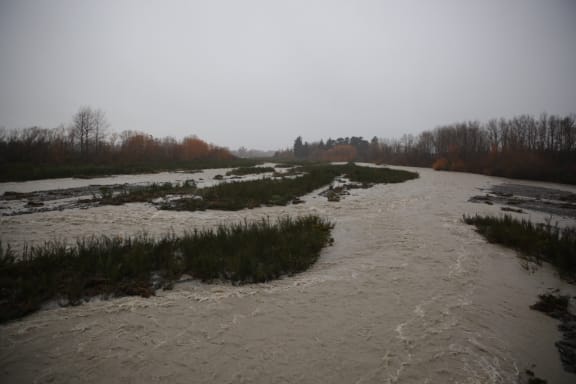

Ashburton River. Photo: RNZ / Rebekah Parsons-King
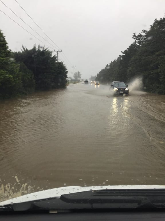

On the road from Ashburton to Rakaia. Photo: Shelley Burke
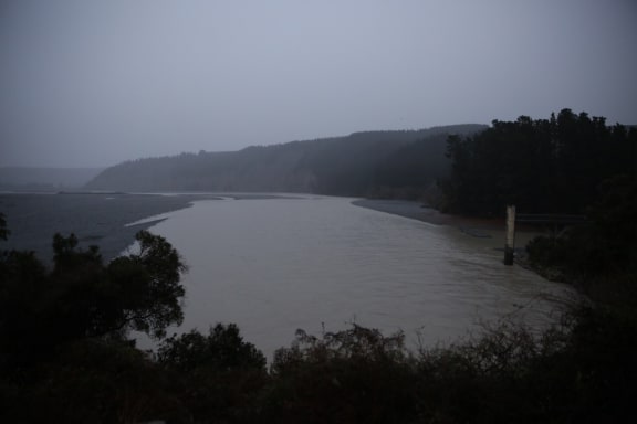

Rakaia Gorge. Photo: RNZ / Rebekah Parsons-King
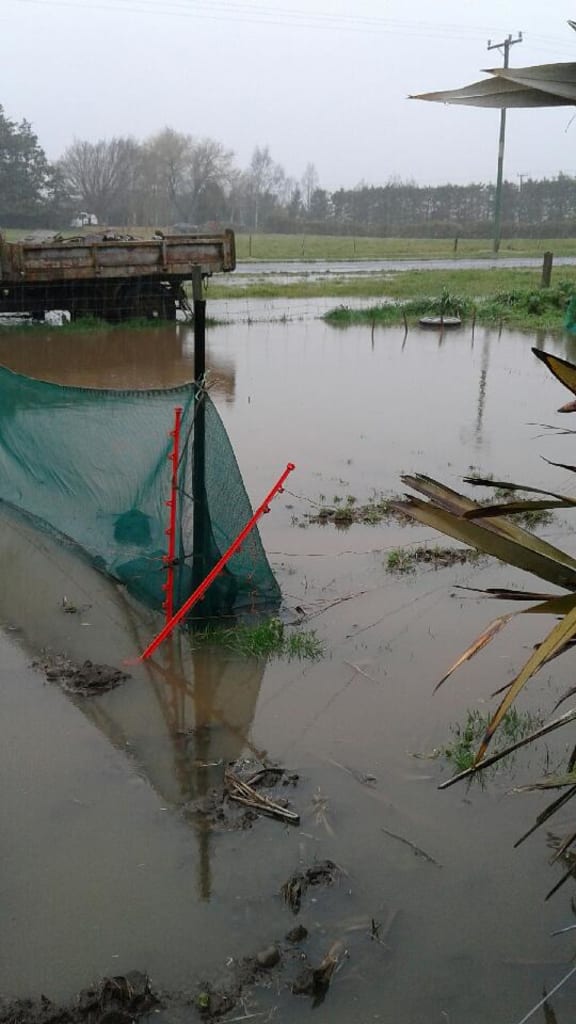

Flooded garlic field at Rakaia. "We should have planted rice, not garlic." Photo: Wendy Atkinson
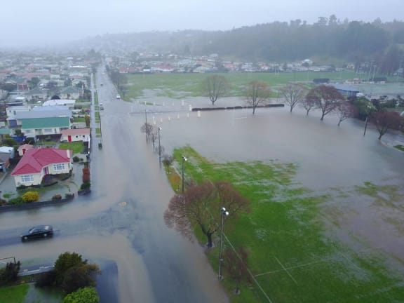

Oamuru's Centennial Park underwater. Photo: Altitude Surveying

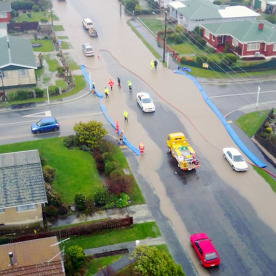
Flooding in Oamuru. Photo: Altitude Surveying
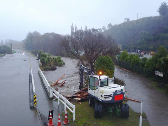

Flooding near the Resource Recovery park. Photo: Altitude Surveying
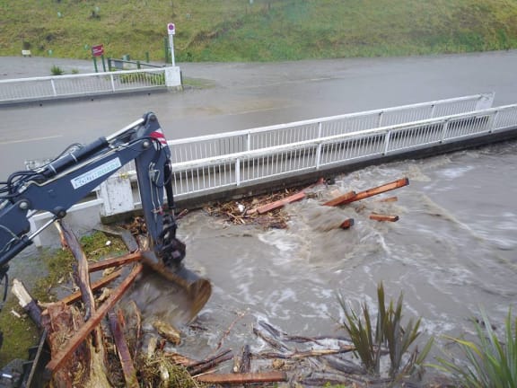

Photo: Altitude Surveying
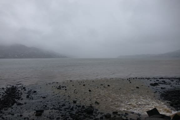

Otago Harbour. Photo: RNZ / Ian Telfer
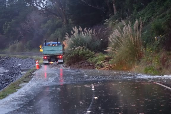

Portobello Road. Photo: RNZ / Ian Telfer
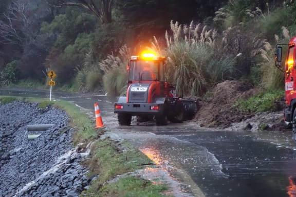

A digger clears one of the slips on Portobello Road. Photo: RNZ / Ian Telfer
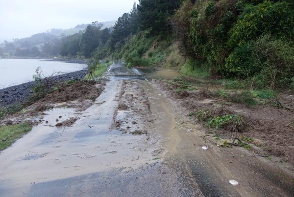

Portobello Road. Photo: RNZ / Ian Telfer
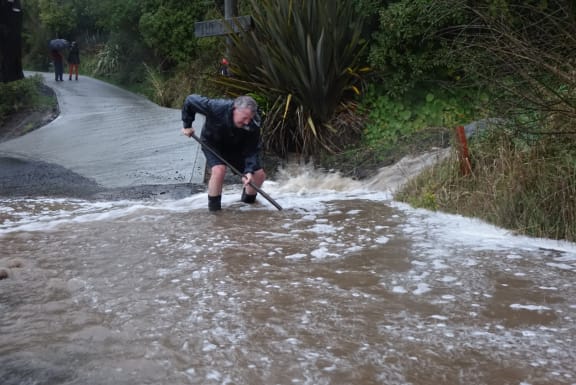

Otago Peninsula man Greg Ryder is digging gravel out of a small lake, trying clear the drain which is flooding the road.
He says he should be able to find it after living here for 25 years but there is just so much water and gravel, he can't locate it. Photo: RNZ / Ian Telfer
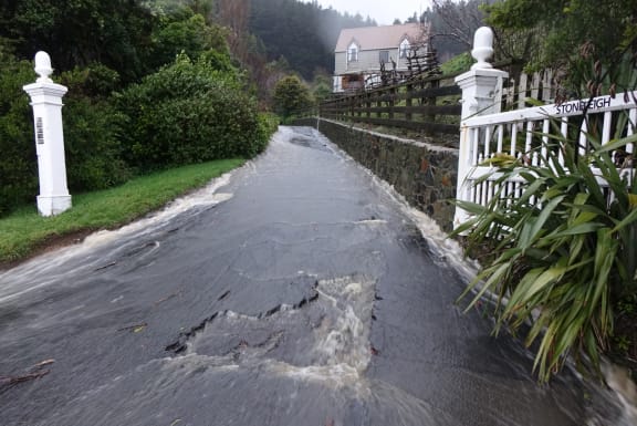

This driveway off Portobello Road has become a stream. Photo: RNZ / Ian Telfer
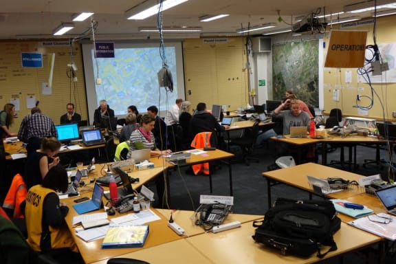

The Dunedin Civil Defence emergency operations centre. Photo: RNZ / Ian Telfer
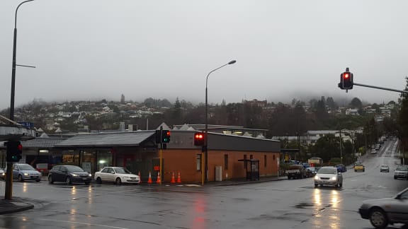

Looking over Opoho Hill, Dunedin. Photo: RNZ / Ian Telfer
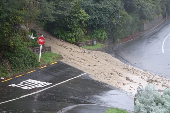

A torrent of mud is coming from a driveway on corner of Ravenswood Road and Cliffs Road, St Clair. Police have evacuated a number of houses around a bank that is at risk of collapse. Photo: Ian Telfer


Heavy rain has caused a slip across the railway line at Hampden. Photo: NZ Police
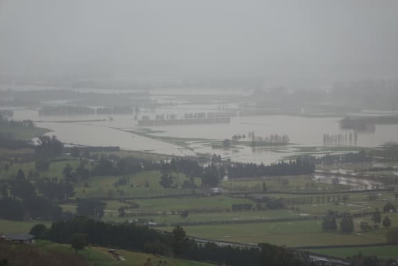

The rain has eased, allowing a clearer view of widespread flooding of the Taieri Plain. Photo: RNZ / Ian Telfer
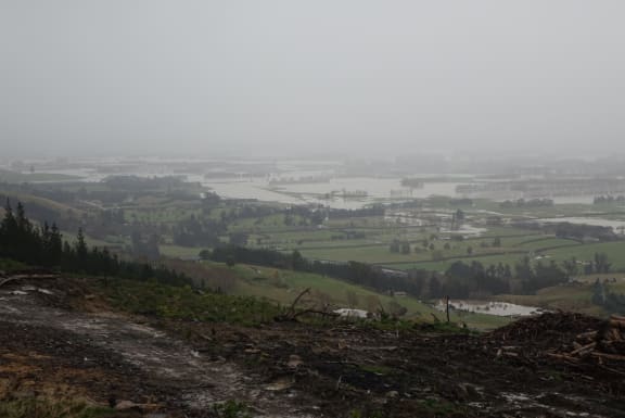

The Taieri Plain. Photo: RNZ / Ian Telfer
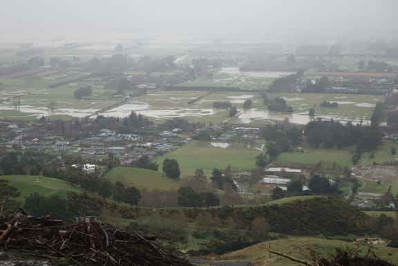

The Taieri Plain. Photo: RNZ / Ian Telfer
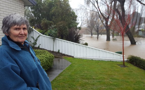

A worried Christine Bridgman returns after a night a way to check on her Riverlaw terrace home in Christchurch, but the street outside her house is fully flooded. Photo / Rachel Graham
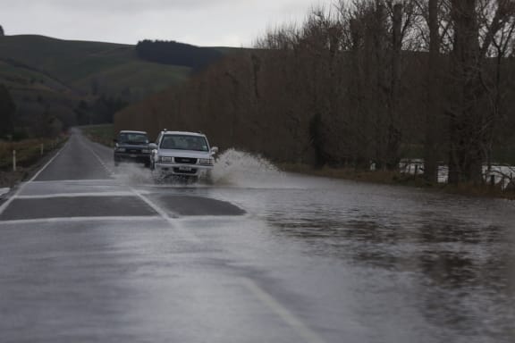

Seven Mile Road near Oamaru has had some significant patches of flooding. Photo / Rebekah Parsons-King
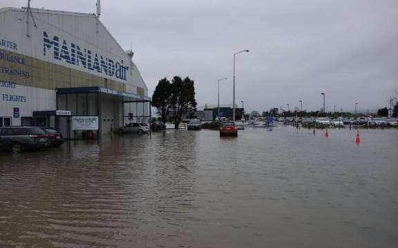

Flooding at Dunedin Airport. Photo / Ian Telfer
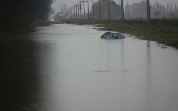

A car is submerged on Allanton Road, Outram after the driver was a bit overconfident. Photo / Ian Telfer
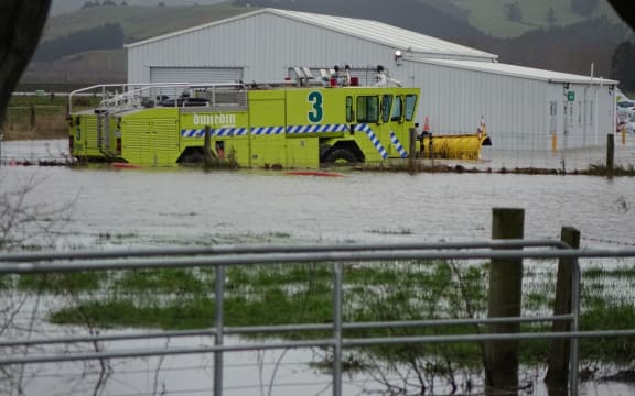

Flooding at Dunedin Airport. Photo / Ian Telfer
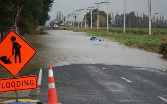

A car is submerged on Allanton Road, Outram after the driver was a bit overconfident. Photo / Ian Telfer
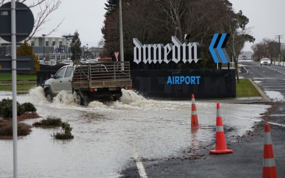

Flooding at Dunedin Airport. Photo / Ian Telfer


Heather and Daryl Whistons' property on Kaik Rd near Oamaru has been deluged by the floodwaters. Photo / Rebekah Parsons-King
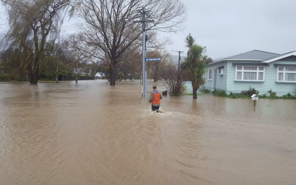

Duane Burgess heads back into the floodwaters to deliver some medication to a friend, whose house on Riverlaw Terrace is now surrounded with water. Photo / Rachel Graham
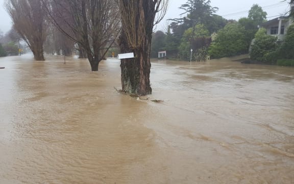

Flooding on Riverlaw Terrace in Christchurch. Photo / Rachel Graham
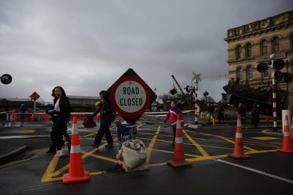

The Humber St Bridge in Oamaru was closed due to hole in the road. Photo / Rebekah Parsons-King
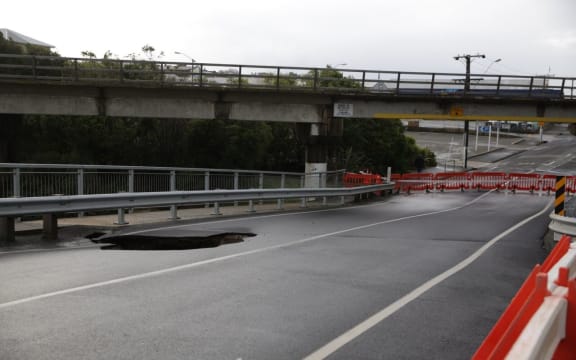

The Humber St Bridge in Oamaru was closed due to hole in the road. Photo / Rebekah Parsons-King
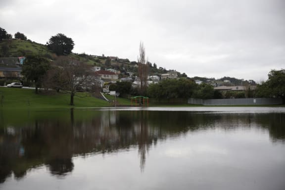

Flooding at Orana Park in Oamaru. Photo / Rebekah Parsons-King
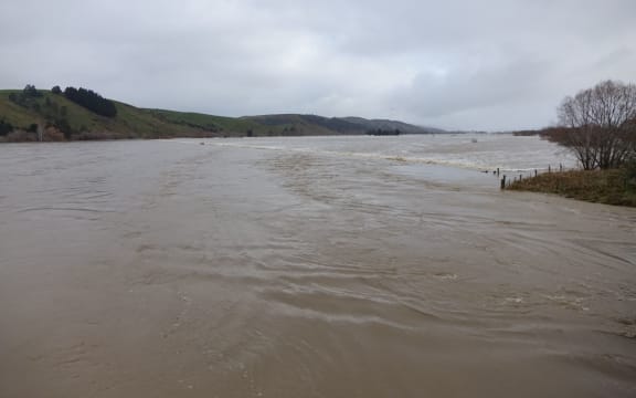

Flooding on the Taieri Plain. Photo / Ian Telfer
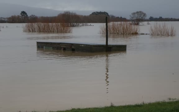

Flooding on the Taieri Plain. Photo / Ian Telfer
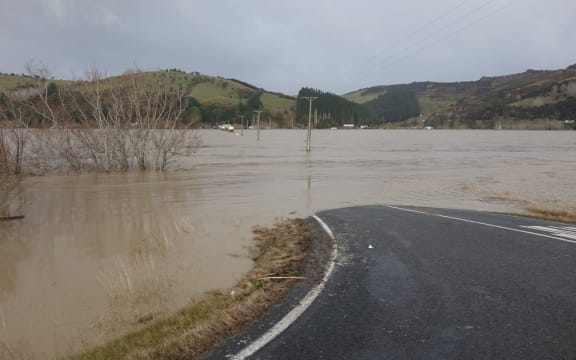

Flooding on the Taieri Plain. Photo / Ian Telfer
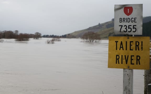

Flooding on the Taieri Plain. Photo / Ian Telfer
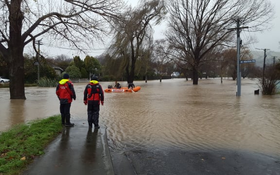

A coastguard crew head down the Heathcote River in Christchurch to offer assistance to those stranded in their homes. Photo / Rachel Graham
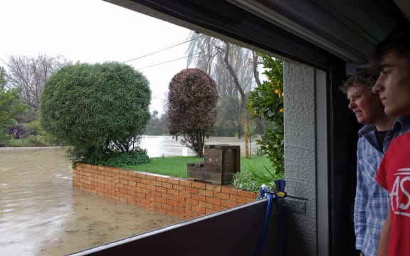

Joanne Bos and visiting student Peio Tamara watch the rising flood waters at their Howe Street home. Photo / Rachel Graham
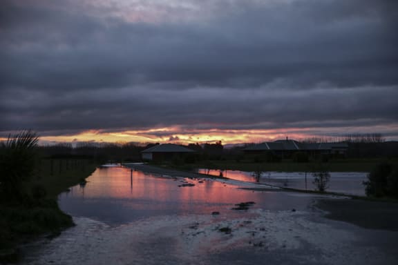

Sunset over a flooded Waimate. Photo / Rebekah Parsons-King
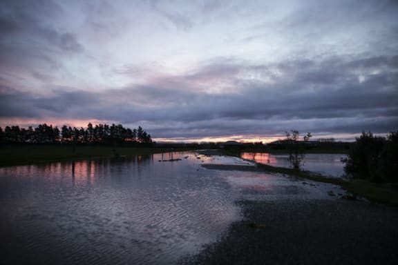

Sunset over a flooded Waimate. Photo / Rebekah Parsons-King
That had followed bitterly cold weather which brought snow to low levels across the South Island, and heavy snow to the lower and central North Island.
After an "extremely volatile" month, August was also likely to be unsettled, according to MetService.
"We expect a relatively wet August for most regions of the country, with further extreme rainfalls possible," said forecaster Georgina Griffiths.
The exceptions were the eastern regions of both islands, and for Southland, where closer to normal monthly rainfall totals are predicted.
"Low pressures, and prevailing northwesterly winds, are likely to be the name of the game during August," said Griffiths.
The first half of the year was one of extreme floods in Bay of Plenty and Auckland.
Heavy rain across the upper North Island in March flooded homes and businesses and caused power cuts.

Flooding at the Kauaeranga River mouth in Thames in March.
Photo: Waikato Rescue Helicopter
Some areas received more rain in two days than normally fell in the entire month.
In eastern Coromandel, Whangamata had 259.8 mm of rainfall in less than 36 hours - more than 150 percent of the normal rainfall for March - while Waihi Beach recorded more than 220mm in 24 hours. That happened about once in 60 years.
Flash flooding ripped through Auckland days later, inundating more than 320 homes throughout the city trapping people in floodwaters on Great North Road in New Lynn.
Worse was to come in Bay of Plenty the following month when the Rangitaiki River burst its banks and a "wall of water" surged through town of Edgecumbe, forcing the evacuation of almost the entire town of 1600 residents.
Tropical storm Cyclone Cook followed, hitting the Bay of Plenty, Gisborne and Hawke's Bay leaving fallen trees and power lines, slips, and road closures in its wake.
Despite the rainy month, slightly warmer temperatures are tipped for most regions, with average to above-average temperatures.
The notable exception is for inland Southland and Otago, where MetService forecast closer to average August temperatures.


