
First published on 
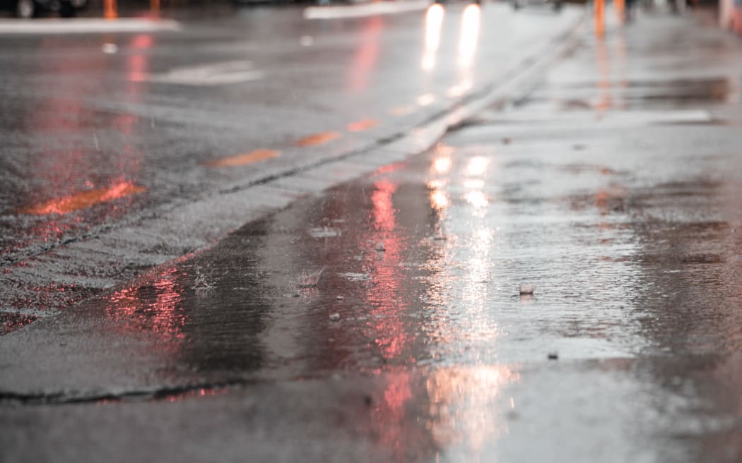
As of 6pm, there had been 1290 lightning strikes recorded across the country, including 107 in Auckland earlier in the afternoon (file image). Photo: RNZ / Samuel Rillstone
Thunderstorms and bouts of heavy rain are cropping up across most of the country, as mild, muggy weather is set to hang around for most of the week.
As of 6pm, there had been 1290 lightning strikes recorded across the country, including 107 in Auckland earlier in the afternoon.
A severe thunderstorm warning for Gore and Southland was issued shortly after 5.30pm, as MetService warned of heavy rain, hail and "frequent" lightning across the region.
Lightning had started to fizzle out across Tāmaki Makaurau, but had since "blown up pretty hard" in Otago and Southland, MetService forecaster Aidan Pyselman said.
There were 19 severe weather watches and warnings in place across most of Aotearoa as of Saturday afternoon, 16 of which are for heavy rain across the North and South islands.
An "unstable" air mass is rolling across the country from the north, bringing "really moist, relatively warm" weather with it, which was expected to linger through most of the working week,
"It's not looking flash."
Heavy rain warnings were in place for Northland, Mount Taranaki, Bay of Plenty (west of Opotiki), Bay of Plenty (from Opotiki eastwards), the Tararua Range, Buller, Richmond and Bryant Ranges, and the Rai Valley, Westland (from Otira southwards) and Tasman west of Motueka, between Saturday and Monday.
Meanwhile, heavy rain watches were in place in Auckland, Waikato, Taupō, Coromandel Peninsula, the central North Island hill country - from Waitomo and North Taranaki to Tongariro National Park - and the ranges of Westland, north of Otira.
MetService had also issued a strong wind watch for Wellington (including the Remutaka Hill Road), and the Canterbury High Country, into Sunday.
This muggy air mass will continue to affect the country through tomorrow. On Monday the South Island will get a respite, followed by the North Island on Tuesday. However, another warm air mass pushes onto the country on Wednesday - this will be replaced by cooler air on Thursday. pic.twitter.com/Cnsmz15iAN
— MetService (@MetService) October 29, 2022
The weather would still be quite active on Monday, but would start to settle - easing into a "slight reprieve" on Tuesday and Wednesday, before another system is due to arrive from the Tasman Sea bringing more heavy rain and warm air.
"It's going to be a pretty up-and-down sort of week."
In terms of temperature, Saturday was likely to be the warmest, with a few regions recording highs 8C higher than the average for this time of year.
It was forecast to reach 28C in Napier, when the average for this time is 20. Shortly before 4pm, the temperature in Napier city was 27.5C, and 28C in Hastings.
⚡ We're currently seeing thunderstorms developing in northern Auckland as well as the lower South Island.
— NIWA Weather (@NiwaWeather) October 29, 2022
⚡ With an unstable air mass in place over NZ, additional thunderstorms are likely today and tonight.
⚡ On Sunday, the best chance for T-storms will be in the upper NI. pic.twitter.com/iqdIdVEo9V
"That's a big number for this time of year."
Christchurch, Kaikōura and Palmerston North were also sitting at about 26C - when 18C is the average temperature in each region at this time of year.
These higher-than-normal temperatures would continue overnight in many places, Pyselman said, with Napier and Hastings set to get down to 19C.
Saturday would also see a mild, muggy night in lots of places, he said.
- This story was first published on Stuff

