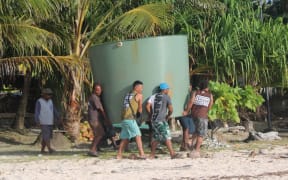
El Niño has been painful for many farmers along the east coast of the country over the last few months. Photo: Supplied
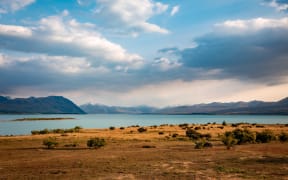
The El Niño weather event which has been dominating the country's weather for the past year has been declared as officially over - with a La Niña weather pattern set to prevail.
Forecasters say there are some changes going on in the Pacific Ocean which are likely to gradually start to affect the weather coming into winter and then into spring.
It should mean a tailing-off for El Niño's frequent, strong westerly winds and long periods of dry weather along the east coast.
National Institute of Water and Atmospheric Research (NIWA) forecaster Ben Noll said El Niño was waning in the tropical South Pacific Ocean.
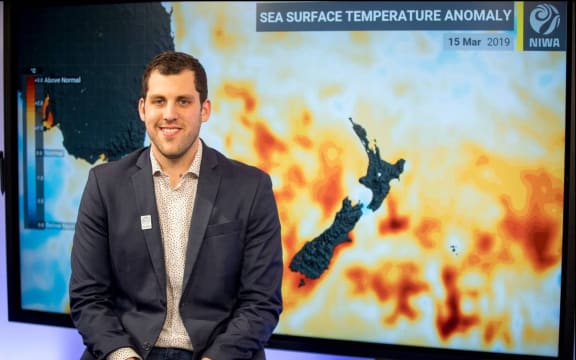
Ben Noll Photo: NZ Herald / Michael Craig
It has also meant cooler weather than usual over the last two months and it might persist into May as "a lag effect".
"So cooler and for some regions drier and there's many regions around the country that could use more rain after what has been a pretty dry start to 2024."
Noll said the ocean water below the surface near the Equator (thousands of kilometres from New Zealand) was cooling off rapidly.
He compared the impact to the ripples in a pond that would take some time to reach this part of the world as the move from one weather system to another was completed.
This meant that it was unlikely the country would experience a repeat of the massive weather events that occurred last year, such as the Auckland floods and Cyclone Gabrielle.
"For the short-term probably more of the same [weather] but if La Niña does develop later this year - that's when we will pay more attention to the tropics to the north, weather patterns that can be a little more supercharged as the oceans warm up in the western Pacific."
New Zealand was in a transition period, he said, and recalled that the last time the country experienced La Niña there were "a handful" of weather events.
However, last time there were three in succession and over that time a lot of heat built up culminating in the release of it through storm systems in the third year.
So it was difficult to forecast what the summer of 2023-2024 might deliver.
"There's still a lot of time to watch and wait and see what that next La Niña might bring."
What is La Niña?
La Niña is part of a climate phenomenon called the El Niño Southern Oscillation (ENSO) system.
It has two opposite states - El Niño and La Niña - both of which significantly alter weather patterns across the globe.
For the last few years, the world has been in successive La Niña periods, which have lowered temperatures and brought heavy rains to Canada and Australia.
Winds blowing along the Equator above the Pacific Ocean - from South America in the east towards Asia in the west - were stronger than normal.
These "trade winds" piled warm water off the coast of Asia, raising the sea surface level. In the east, near the Americas, cold water flowed upwards to the surface.
During El Niño the opposite happens - weaker trade winds mean the warm water spreads out back towards the Americas, and less cold water rises towards the surface.
The phenomenon was first observed by Peruvian fisherman back in the 1600s.
They noticed that warm waters seemed to peak near the Americas in December, and nicknamed the event "El Niño de Navidad", Christ Child in Spanish.
- RNZ / BBC